Skip to content
Customize Consent Preferences

We use cookies to help you navigate efficiently and perform certain functions. You will find detailed information about all cookies under each consent category below.

The cookies that are categorized as "Necessary" are stored on your browser as they are essential for enabling the basic functionalities of the site. ... 

Always Active

Necessary cookies are required to enable the basic features of this site, such as providing secure log-in or adjusting your consent preferences. These cookies do not store any personally identifiable data.

No cookies to display.

Functional cookies help perform certain functionalities like sharing the content of the website on social media platforms, collecting feedback, and other third-party features.

No cookies to display.

Analytical cookies are used to understand how visitors interact with the website. These cookies help provide information on metrics such as the number of visitors, bounce rate, traffic source, etc.

No cookies to display.

Performance cookies are used to understand and analyze the key performance indexes of the website which helps in delivering a better user experience for the visitors.

No cookies to display.

Advertisement cookies are used to provide visitors with customized advertisements based on the pages you visited previously and to analyze the effectiveness of the ad campaigns.

No cookies to display.

ADVERTISE WITH US | EMAIL: KROX@RRV.NET

WINTER STORM WARNING DOWNGRADED TO WINTER WEATHER ADVISORY

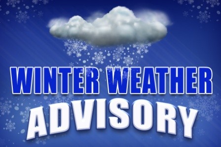
The National Weather Service in Grand Forks, North Dakota has downgraded the Winter Storm Warning to a Winter Weather Advisory for Crookston and the area.

The Winter Weather Advisory includes the Minnesota cities of Crookston, East Grand Forks, Ada, Twin Valley, Halstad, Thief River Falls, Red Lake Falls, Fosston, Fertile, McIntosh, and Erskine. It also includes the North Dakota cities of Grand Forks, Cooperstown, Finley, Hope, Mayville, Hillsboro, Hatton, Portland, and Roseville.

…WINTER WEATHER ADVISORY IN EFFECT UNTIL 10 AM CDT TUESDAY…
…WINTER STORM WARNING IS CANCELLED…

* WHAT…Snow. Additional snow accumulations of 2 to 4 inches. Winds gusting as high as 45 mph.

* WHERE…Portions of northwest Minnesota and northeast and southeast North Dakota.

* WHEN…Until 10 AM Tuesday.

* IMPACTS…Plan on slippery road conditions. Widespread blowing snow could significantly reduce visibility. The hazardous conditions could impact the morning or evening commute.

PRECAUTIONARY/PREPAREDNESS ACTIONS…
Slow down and use caution while traveling.

Share:
Tags: , ,