Skip to content
Customize Consent Preferences

We use cookies to help you navigate efficiently and perform certain functions. You will find detailed information about all cookies under each consent category below.

The cookies that are categorized as "Necessary" are stored on your browser as they are essential for enabling the basic functionalities of the site. ... 

Always Active

Necessary cookies are required to enable the basic features of this site, such as providing secure log-in or adjusting your consent preferences. These cookies do not store any personally identifiable data.

No cookies to display.

Functional cookies help perform certain functionalities like sharing the content of the website on social media platforms, collecting feedback, and other third-party features.

No cookies to display.

Analytical cookies are used to understand how visitors interact with the website. These cookies help provide information on metrics such as the number of visitors, bounce rate, traffic source, etc.

No cookies to display.

Performance cookies are used to understand and analyze the key performance indexes of the website which helps in delivering a better user experience for the visitors.

No cookies to display.

Advertisement cookies are used to provide visitors with customized advertisements based on the pages you visited previously and to analyze the effectiveness of the ad campaigns.

No cookies to display.

ADVERTISE WITH US | EMAIL: KROX@RRV.NET

NATIONAL WEATHER SERVICE PREDICTS 1 TO 3 INCHES OF SNOW IN NW MINNESOTA

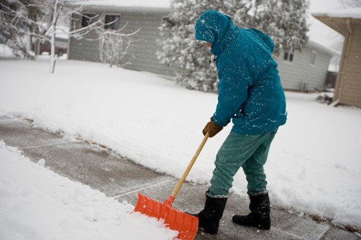
The National Weather Service has updated the snow total prediction for northwest Minnesota through Saturday.  They are calling for anywhere from 1 to 3 inches of snow with higher amounts possible. 

The forecast includes the cities of Crookston, East Grand Forks, Ada, Twin Valley, Halstad, Hallock, Karlstad, Lancaster, Warren, Stephen, Argyle, Newfolden, Middle River, Grygla, Thief River Falls, Red Lake Falls, Fosston, Fertile, McIntosh, Erskine, Bagley, Clearbrook, Bemidji, Mahnomen, Naytahwaush, Waubun, Alida, Ebro, Lake Itasca, Long Lost Lake, Lower Rice Lake, Roy Lake, Upper Rice Lake, Park Rapids, Detroit Lakes, Wolf Lake, Cavalier, Walhalla, Drayton, Pembina, Neche, and St. Thomas.

…ACCUMULATING SNOW POSSIBLE SATURDAY…
A late-season snow band is expected over eastern North Dakota into northwest and west-central Minnesota on Saturday. While highest snow amounts and rates are expected within the Devils Lake basin, accumulation from moderate to briefly heavy snow may occur in the central Red River Valley into northwest Minnesota. Slushy accumulation of 1 to 3 inches will be possible during the day Saturday along with a small chance of locally higher amounts, mainly on grassy surfaces. Impacts from snow include reduced visibility due to snow rates and possible hazardous travel conditions.

Share:
Tags: , , ,