Skip to content
Customize Consent Preferences

We use cookies to help you navigate efficiently and perform certain functions. You will find detailed information about all cookies under each consent category below.

The cookies that are categorized as "Necessary" are stored on your browser as they are essential for enabling the basic functionalities of the site. ... 

Always Active

Necessary cookies are required to enable the basic features of this site, such as providing secure log-in or adjusting your consent preferences. These cookies do not store any personally identifiable data.

No cookies to display.

Functional cookies help perform certain functionalities like sharing the content of the website on social media platforms, collecting feedback, and other third-party features.

No cookies to display.

Analytical cookies are used to understand how visitors interact with the website. These cookies help provide information on metrics such as the number of visitors, bounce rate, traffic source, etc.

No cookies to display.

Performance cookies are used to understand and analyze the key performance indexes of the website which helps in delivering a better user experience for the visitors.

No cookies to display.

Advertisement cookies are used to provide visitors with customized advertisements based on the pages you visited previously and to analyze the effectiveness of the ad campaigns.

No cookies to display.

ADVERTISE WITH US | EMAIL: KROX@RRV.NET

FLOOD WARNING ISSUED FOR CROOKSTON LATE SUNDAY MORNING UNTIL FURTHER NOTICE

Crookston and the KROX listening area along with portions of northwest Minnesota and northeast North Dakota are in a flood warning.  The National Weather Service in Grand Forks has issued a flood warning for Crookston and the Red Lake River from Sunday morning until further notice.

At 9:45 a.m. Thursday the Red Lake River had risen to 8.8 feet.  Flood stage is 15 feet and moderate flood stage is 23 feet.  The river is expected to reach flood stage by late Sunday morning and continue to rise to near 24 feet by Wednesday evening.  Additional rises are possible.

Warming temperatures will promote much-increased snowmelt runoff, overland flow, and ice jam flooding through the end of the week; with rising river levels for all streams and rivers north of Wahpeton-Breckenridge.

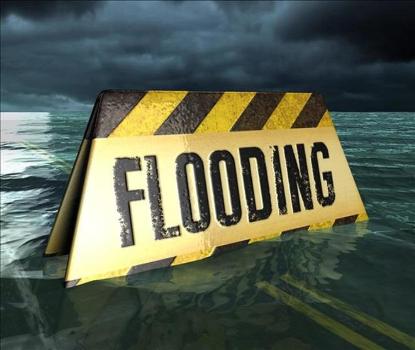
The National Weather Service advises drivers not to travel through a flooded area – turn around, don’t drown.  Persons in the warned area need to take steps to protect life and property.  If necessary, move to a higher and safer location.  Persons living in the Red River Basin should monitor river levels while the river is in, or near, flood.

Other locations in a flood warning include Twin Valley on the Wild Rice River, Shelly on the Marsh River, Climax on the Sandhill River, East Grand Forks, Halstad, Oslo, Marshall County, Polk County, Norman County, Trail County, Grand Forks County, Walsh County on the Red River. 

Share:
Tags: , , , , , , , , , , , , , , , , , , , , , , , ,